
Insightful Pre-Planning Site Assessments
Explore our comprehensive aerial data solutions, crafted to enhance construction accuracy and client success.

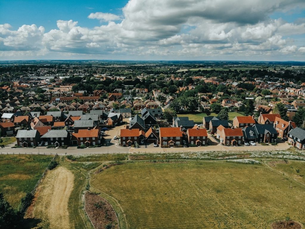
Precision Site Mapping
Utilize high-resolution aerial imaging to create detailed maps that inform every stage of your project.

Progress Monitoring
Track real-time construction developments with our reliable, timely aerial data capture services.

Final Project Documentation
Deliver comprehensive reports and visuals to verify project completion and compliance standards.
Elevate Projects with Precise Site Data
Explore our aerial data capture and analysis services that deliver accurate, actionable insights throughout your construction project’s lifecycle.
Pre-Planning Evaluations
Assess your site early with detailed aerial scans to inform smarter planning decisions.
Progress Monitoring
Track construction advancement with regular aerial surveys to ensure project timelines are met.
Final Project Documentation
Compile comprehensive aerial records for clear, verifiable project completion reports.
Discover Precision and Insightful Data
Experience the advantage of aerial data that drives smarter decisions throughout your construction projects.
Accurate Pre-Planning Analysis
Gain detailed aerial surveys that help you evaluate sites effectively, reducing risks before construction begins.

Real-Time Progress Monitoring
Track project development with timely aerial updates, ensuring milestones are met and issues are spotted early.

Comprehensive Final Documentation
Receive thorough aerial reports that document project completion for compliance and future reference.