Elevate Projects with Expert Aerial Data
Find clear, concise answers to your aerial data and construction project questions here.
How does Site Scan Pro capture aerial data?
We use drones equipped with advanced sensors to gather detailed site imagery and measurements.
Can your service track construction progress over time?
Yes, we provide regular aerial scans to monitor and document every stage of your build.
What types of projects benefit most from your analysis?
Our solutions are ideal for construction, land development, and infrastructure planning projects.
How quickly can I get the analysis after a site scan?
We deliver actionable insights within 24 to 48 hours following each flight mission.
Is prior site preparation required before scanning?
Minimal preparation is needed; just ensure the site is accessible for drone flights.
Do you support regulatory compliance with your data reports?
Absolutely, our detailed documentation helps meet industry standards and legal requirements.
Elevate Projects with Precision Drone Data
Discover how Site Scan Pro delivers detailed aerial insights that streamline construction planning, track progress, and ensure accurate final documentation.

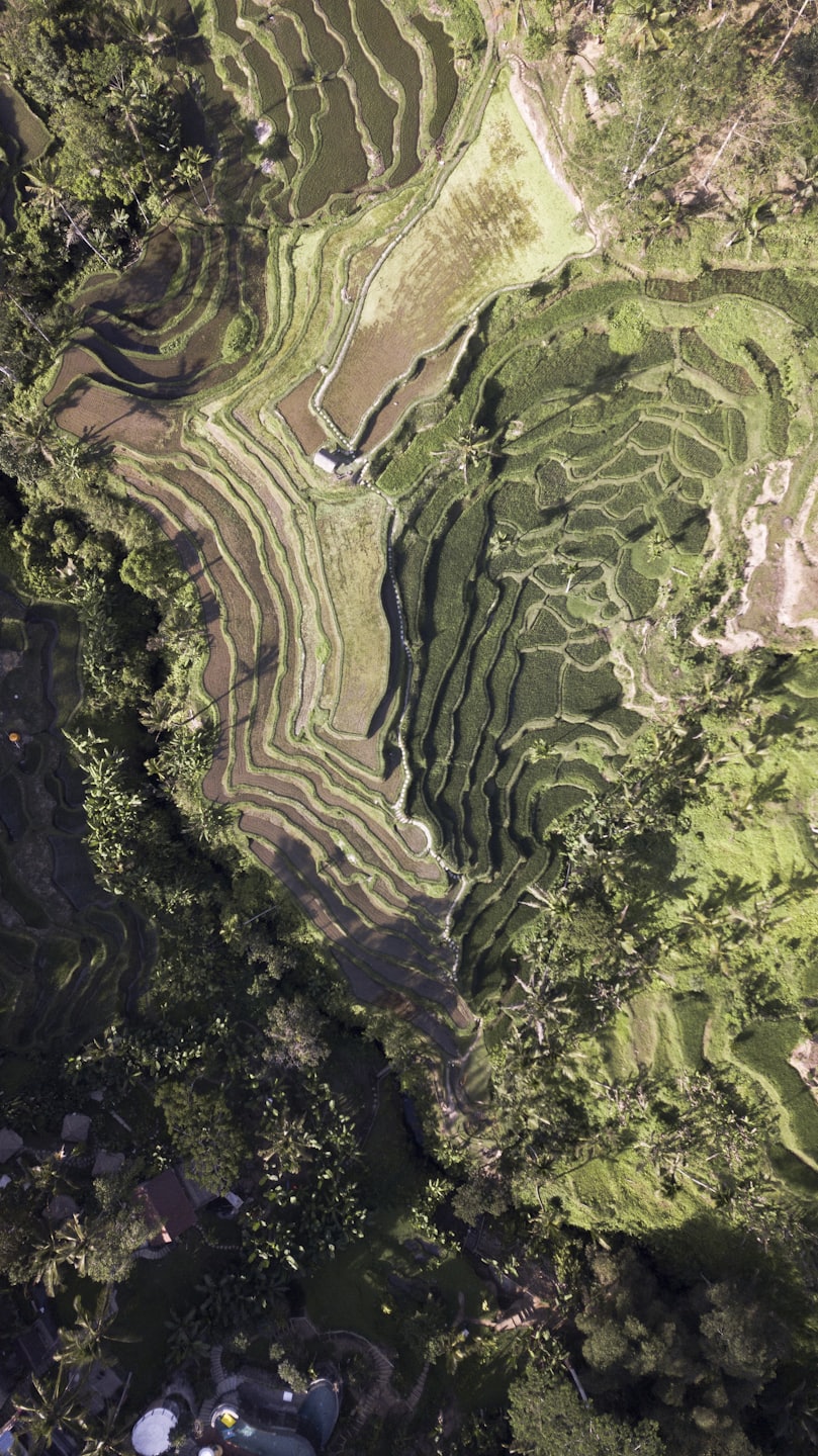
Pre-Planning Site Assessments
Utilize high-resolution aerial scans to evaluate site conditions before construction begins.
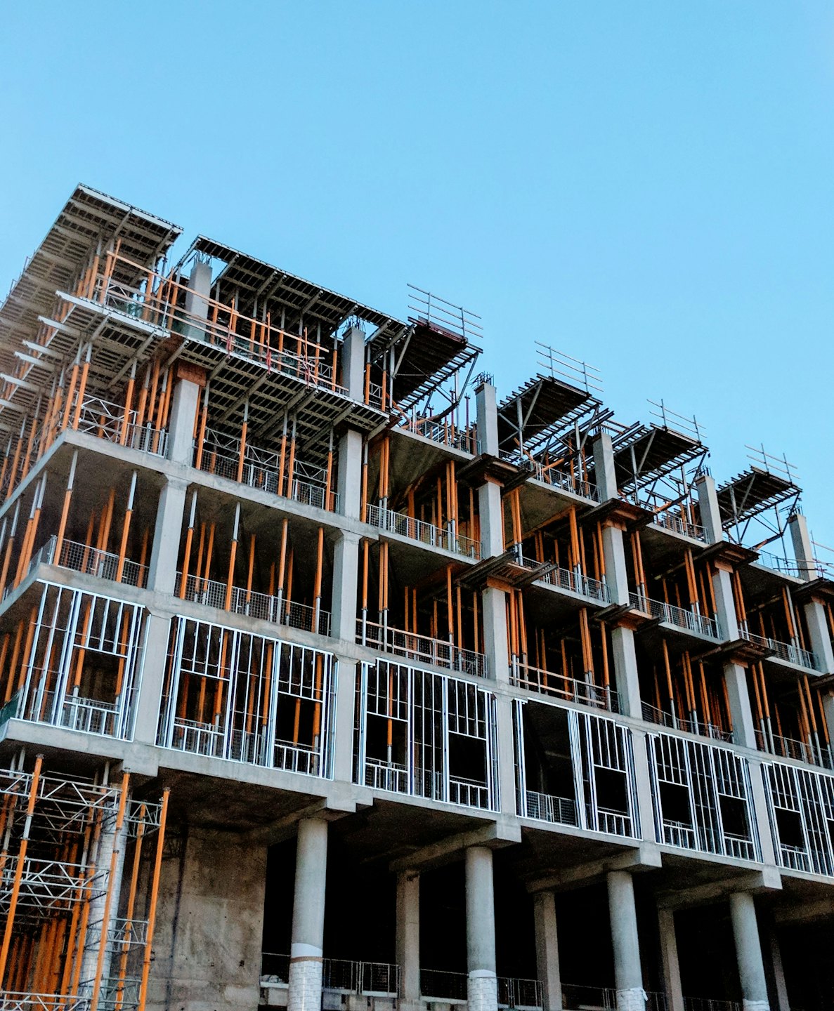
Real-Time Progress Monitoring
Track construction milestones with up-to-date aerial imagery and analytics.

Comprehensive Project Documentation
Generate precise end-of-project reports with detailed aerial data and analysis.
Precision Insights for Pre-Construction Planning
Explore our comprehensive aerial data capture and analysis solutions, tailored to enhance every phase of your construction project with accuracy and efficiency.

Site Mapping and Surveying
Leverage precise aerial surveys to evaluate site conditions and inform early project decisions confidently.
Progress Monitoring
Track construction milestones through detailed aerial imaging, ensuring projects stay on schedule and within budget.
Final Project Documentation
Capture comprehensive aerial records for verified completion and streamlined project closeout.

Custom Data Reporting
Receive actionable insights through tailored analysis reports that support informed decision-making.